Products Overview
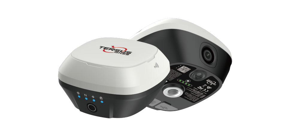
TS21 GNSS receiver integrates visual positioning, GNSS, IMU and dual cameras into one innovative device. The front camera enables high-precision, high-efficiency and multi-point measurement, allowing surveyors to measure what they see. The combination of front and bottom cameras supports CAD AR visual stakeout for precise path planning at varying distances.
Point Cloud Measurement
Innovative visual measurement generates point clouds on site. Selecting points from photos directly corresponds to picking points within point clouds, eliminating the need for checking and adjustments.
Measure What You See
Pick multiple points at a time to speed up your workflow, completing projects faster and efficiently. Perfect for hard-to-reach places and challenging terrains.
TwinCam Visual Stakeout™
Using the front and bottom cameras at different distances, targets are marked onto the live view to quickly locate point positions and improve stakeout efficiency by 70%
Professional Cameras
The high-performance global shutter camera, low-distortion lens, and advanced algorithms achieve 2–4 cm accuracy, while the intelligent processor provides clear images for precise visual positioning and AR stakeout.
3D Modeling
Compatible with mainstream 3D modeling software, uses raw visual survey data for accurate and flexible post-processing to create detailed, high-precision, visually realistic 3D models.